First Status Seminar for Sustainable Land Management in Africa
Sustainable Land Management in sub-Saharan Africa: Major research project sets off

Sustainable Land Management in sub-Saharan Africa: Major research project sets off

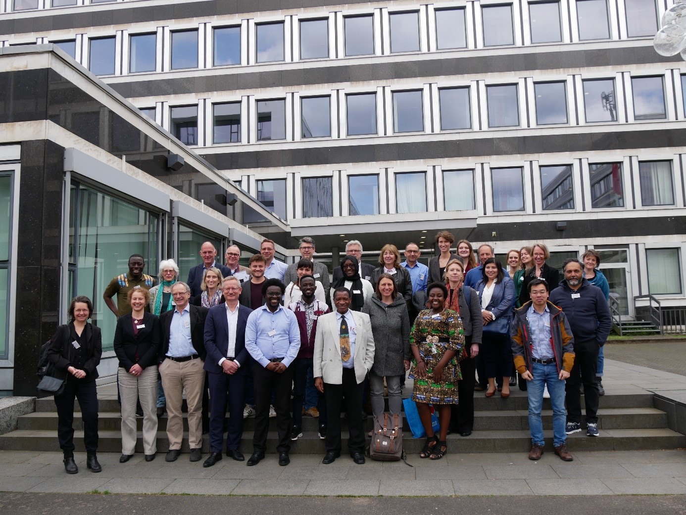
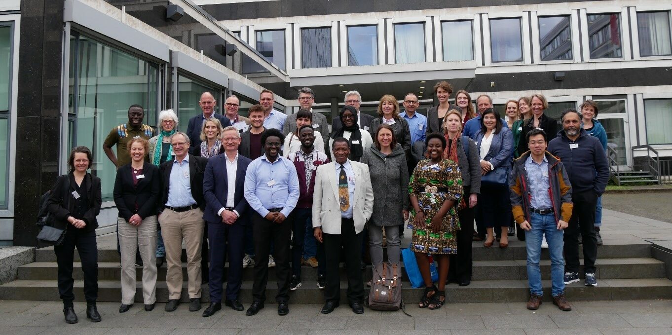
INTERFACES, a BMBF-funded project constituted by ZEF, University of Bonn, Hochschule Bonn-Rhein-Sieg and IDOS as well as FARA, WASCAL and UBIDS, hosted its first status seminar from 26 to 28 of April at IDOS. This project accompanies four regional research consortia on sustainable land management in sub-Saharan Africa.
On the first day, about 100 researchers participated both in Bonn and virtually from across the participating countries in a semi-public format. Prof. Dr. Anna-Katherina Hornidge gave a welcome address from Tokyo, Japan where she was representing IDOS at the Think7 Japan Summit. Mr. Johns Muleso Kharika from the United Nations Convention to Combat Desertification, held an address on the need to accelerate innovation in the implementation of land-based solutions in Sub-Saharan Africa and invited all project partners for a close cooperation with his organisation. Among esteemed guests were also Dr. Karsten Hess from the German Ministry of Education and Research Dr. Dirk Schories from the DLR Projekttraeger.

The following two days saw a range of virtually organised closed sessions to facilitate participation across all consortium members in the various projects. INTERFACES organised several sessions to provide information about the services it will offer including synthesising knowledge through dialogues on future visions and theories of change; facilitating implementation processes from research results to adoption; communication, networking and knowledge management; as well as capacity development, education and gender research.
Further workshop sessions were organised by the four regional projects – COINS, DecLaRe, InfoRange and Minodu – as well as by individual project partners, during which many areas for collaboration were identified. Workshop topics included supporting formal and informal education with massive open online courses on Earth observations, putting transdisciplinarity into action through collaboration learning, development of innovation formats for science communication, and programme-wide alignment of Geographic Information System, Remote Sensing, Decision Support System activities.