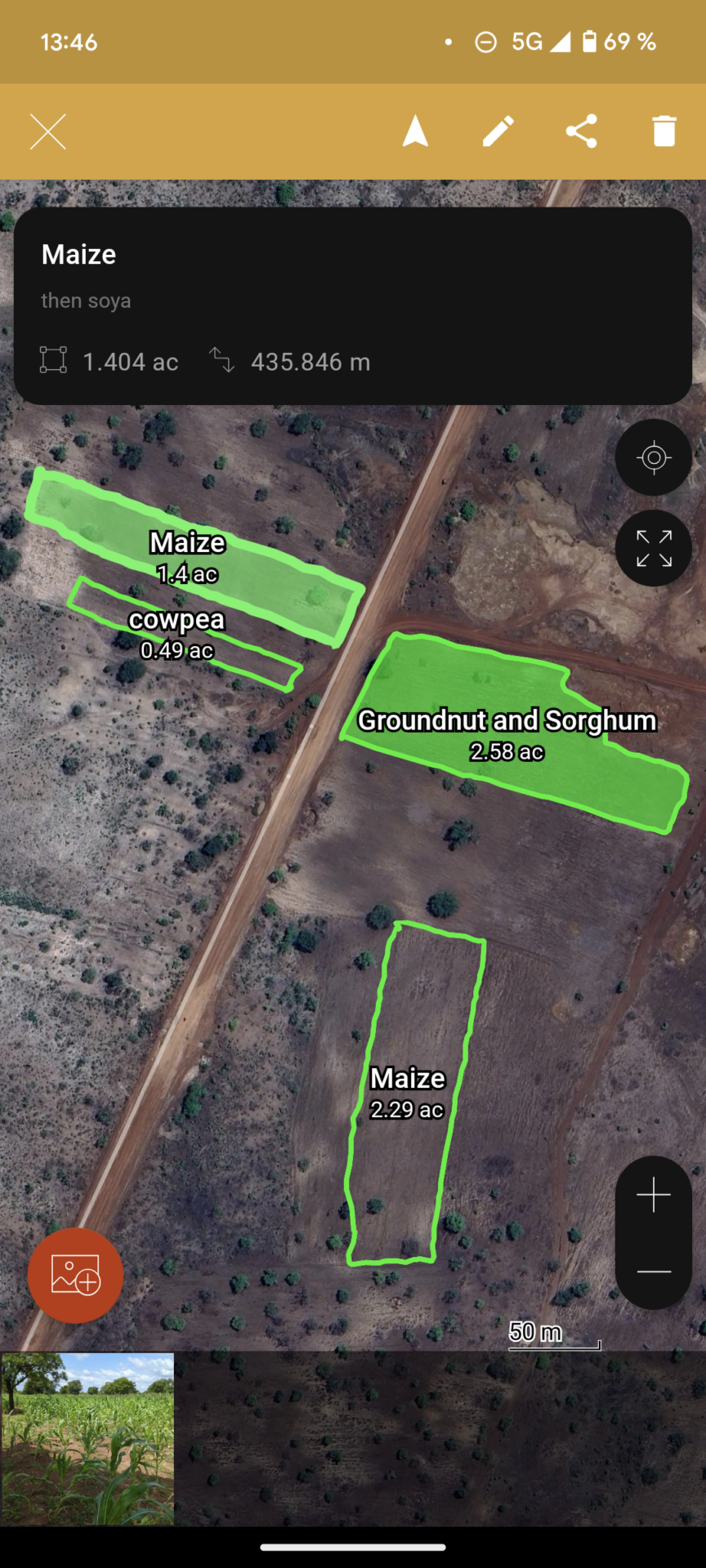
How can digital tools and geodata support smallholder farmers in West Africa and promote sustainable land use? How can such tools be brought to the farmer? These questions were the focus of the fieldwork in northern Ghana organised by the RUB team of the COINS project together with the ILR of the University of Bonn and ACRE Africa, and facilitated by the Ghanaian partner Savanna Agricultural Research Institute (SARI).
COINS workshop explores sustainable land use in Ghana with digital geotools
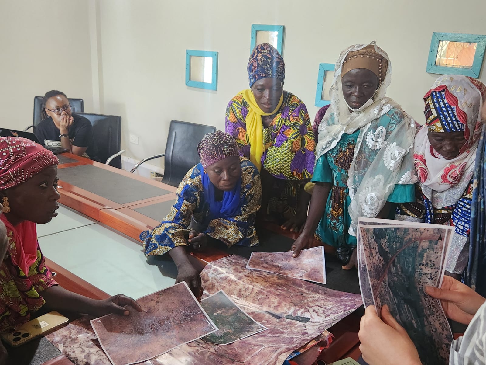
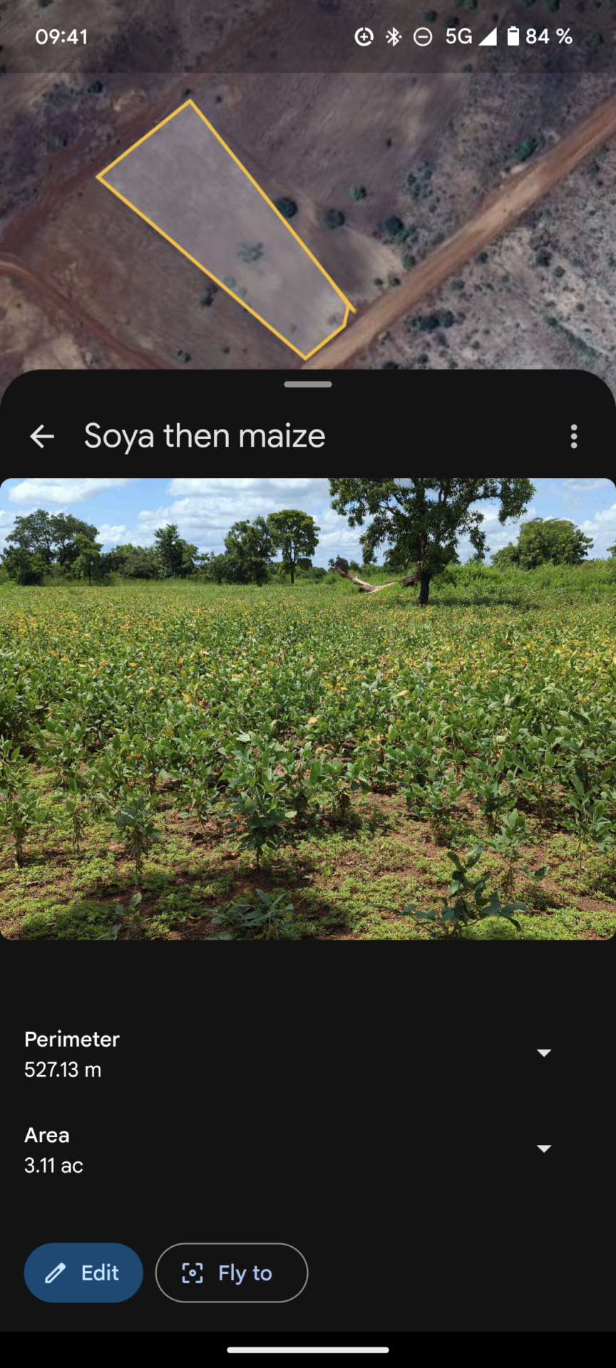
The aim of the workshop was to familiarise farmers in Tamale, Ghana, with the use of digital tools through practice-oriented training and thus support them in using land more efficiently. This is because the exact field sizes and therefore the required quantities of seed, fertilisers, pesticides, and labour are often only estimated. In addition, the agricultural landscape of the region is highly variable, meaning that the division of their own fields into maize, okra, soya or other crops often changes with the season.
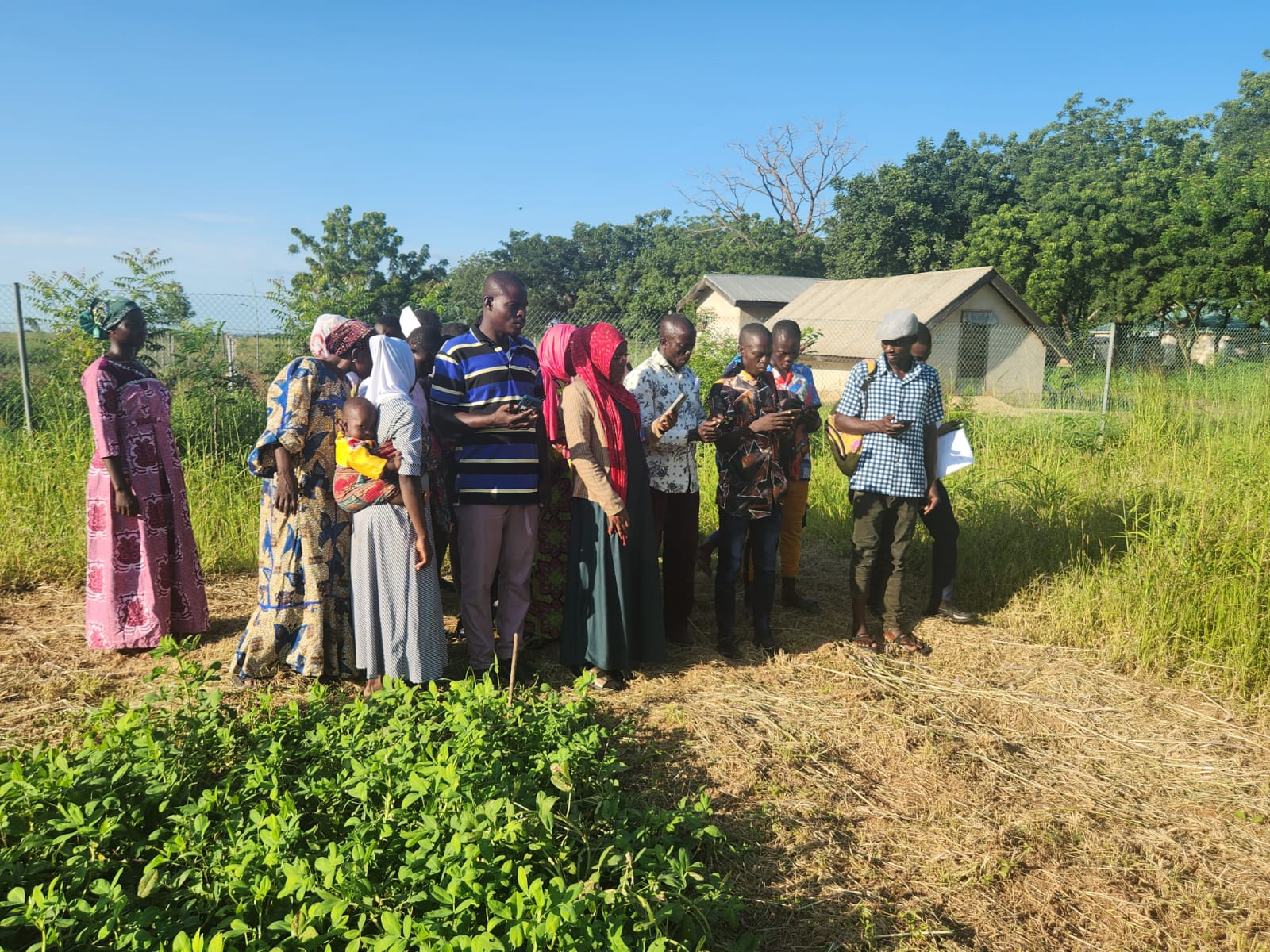
As part of a gender-sensitive approach, the participants received an introduction to smartphone-supported mapping of their fields, which should contribute both to better land utilisation and to strengthening their economic independence. In the days following the workshop held at SARI, the method was tested together with the farmers directly on their fields. Challenges were recorded and documented, providing valuable insights for the further development of the learning materials and a planned video tutorial.
In addition, the land cover and suspended sediment load of small reservoirs, which play a key role in water availability, particularly in the dry season, were recorded. The data collected is fed into remote sensing models in order to promote approaches for monitoring and sustainable management of agricultural land.
In exchange with project partners such as the West African Science Service Centre on Climate Change and Adapted Land Use (WASCAL), the German Aerospace Center (DLR) and relevant actors from the start The respective fieldwork objectives differed between the various partners involved, from gaining insights into value chains and conducting an economic experiment through calibrating a business model with local expert knowledge in collaboration with INTERFACES, to the mapping exercise with farmers and field data collection described above. However, it was also this very fact that provided the persons involved with insights into the various lines of action and methods within and beyond COINS, which was conducive to scientific exchange and enhanced synergies.-up and innovation scene, further steps for the implementation of the COINS project were discussed, including the organisation of a hackathon planned for 2025 in Ghana to promote the development of locally adapted digital approaches.
